This blog post is the next in the series on running training sessions during the pandemic. As a recent Rasters Revealed conference there was a great session on running training courses during the pandemic and I thought I would share my experiences. This builds on my previous posts about teaching online and CPD.
Since March I have run 10 different training courses, a mixture of 3 or 4 half day sessions. There is always potential to improve more, but I think overall my structure works reasonably well. I have certainly received great feedback from my course participants.
“I loved the interactive bits, the worksheets and the breakout rooms. They” were really hands on and felt like a normal course, even though the course took place online.”
Astrid Pape, PhD Candidate, Freie Universität Berlin
Introduction to GIS, Geospatial Data & Spatial Statistics course, November 2020

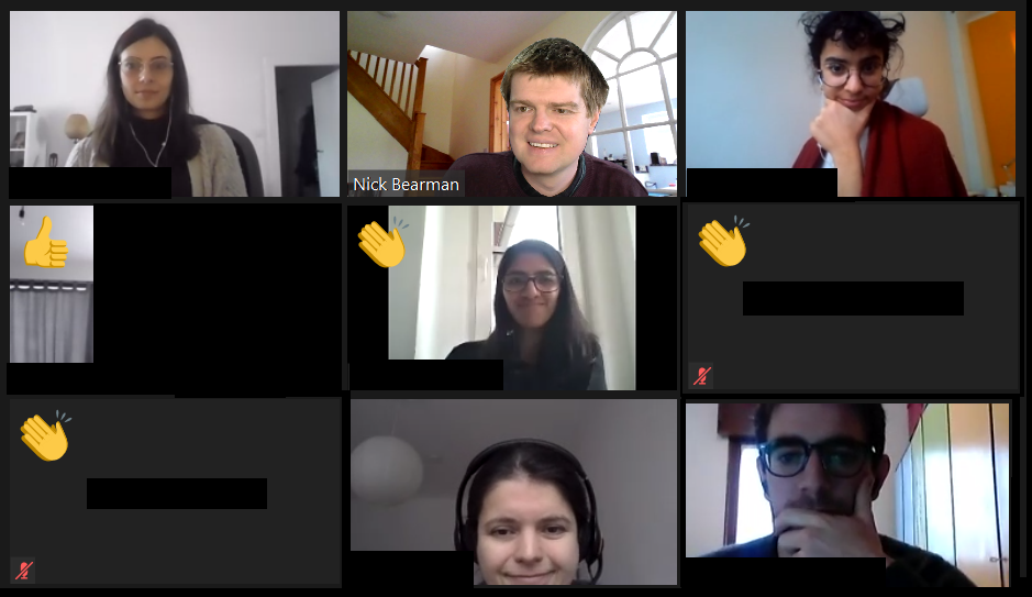
I run the courses on Zoom, and limit the sessions to 3-4 hours maximum during a day – otherwise it ends up being a lot of intense screen time, which doesn’t help the learner, or me! Each session has a mixture of presentations (20-40 min) and then practical sessions. For the practical sessions, I split the main group up into small groups of 4-5 people using the breakout rooms feature. The practical sessions last for up to an hour, and I ‘walk around’ the groups by visiting each breakout room in turn and see how people are getting on. If they have questions, they can share their screens, and most of the time they group members talk to each other and share their questions within the group. They also have the option of pressing the ‘Ask for Help’ button which sends me a message, saying so-and-so has a question in room 2, and I can go to the room and see what their question is.
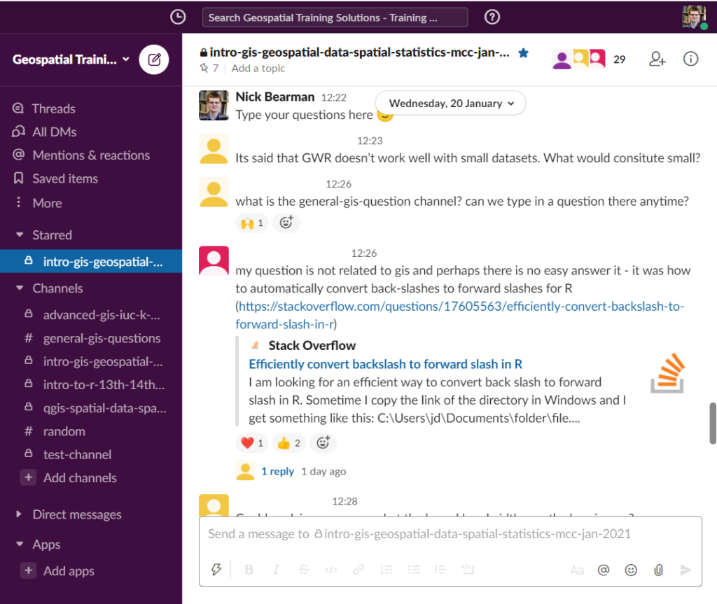
Over the whole period of the course (1-2 weeks) I run a Slack channel for that particular group. This allows me to share links to materials, slides, Zoom, videos, etc. as well as giving the students the option to ask questions to the group, or just to me (via the DM feature). During the actual sessions I also have 10 min at the end where I ask everyone to post a question in the Slack discussion about the material we have just covered. This is a great way of getting questions out of people and I then talk through the answers, adding in links later on if I don’t have them to hand there and then. All the sessions are also recorded and available to the participants (only) for 3 months.

I hope this is useful – if you have any experiences you’d like to share, please do in the comments below!
If you are interested in GIS training, then I have some courses coming up in Feb and April, and I am always happy to talk about running a course for your research group or organisation – just get in touch.
Cross-posted from https://www.geospatialtrainingsolutions.co.uk/online-teaching-more-reflections/